DE104

Germany
49.0236748778, 12.1366005136
- Category
- C
- Area
- 0,31 ha
- Origin
- C
- Hydro-morphology
- 4
- River km
- 2380
- Habitat Characteristic
- Softwood galleries
General Information
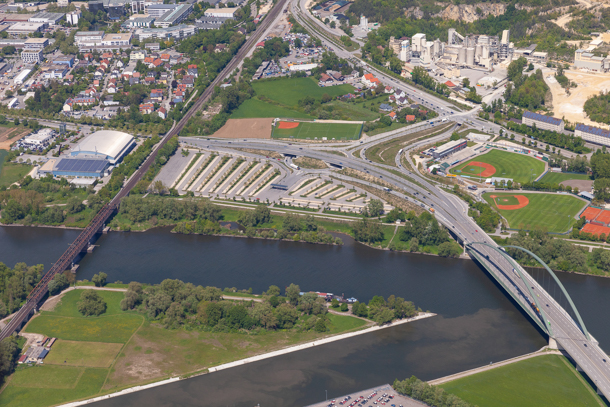
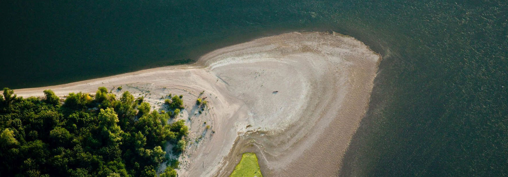
Before the great river regulations of the 20th century, the Danube was more divided in the urban area and formed several islands. Until the “Geisling” barrage was built, large sandbanks and gravel banks were exposed in places at low tide, they are now under water all year round. At high tide, the island is flooded to over 3 m high and sediments are deposited in places. The banks are partly unspoiled, with sand and gravel banks, partly also fortified with granite stones, along the city center also stonewalled. The flood area is limited by flood dams.