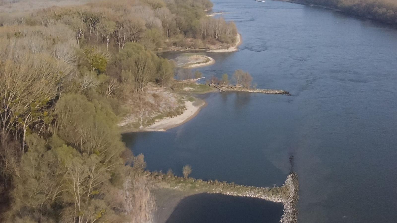
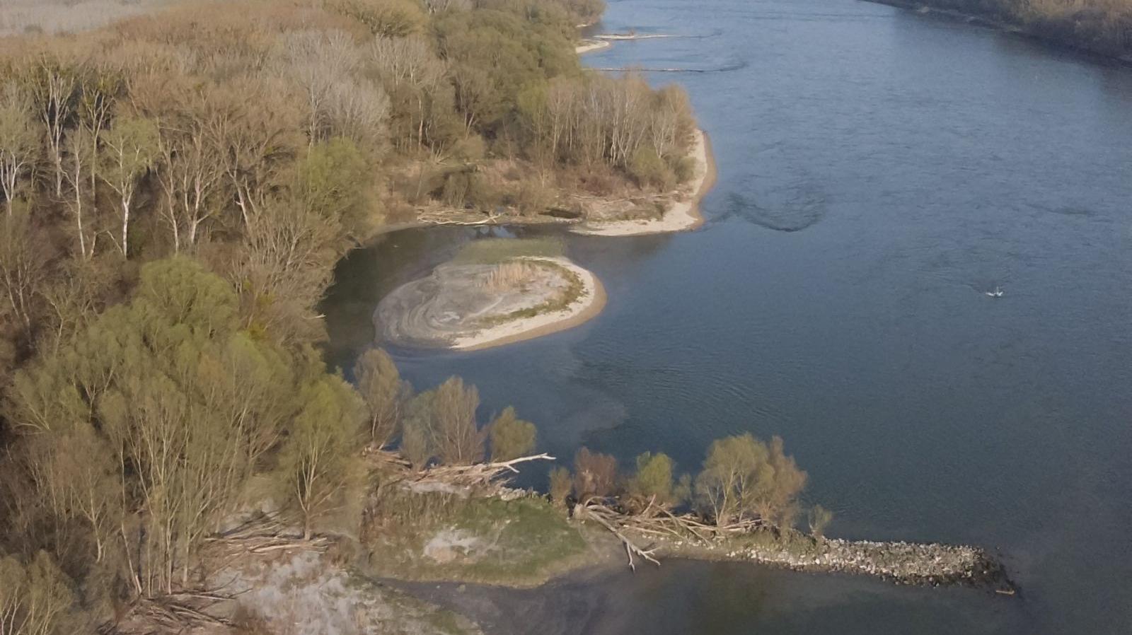
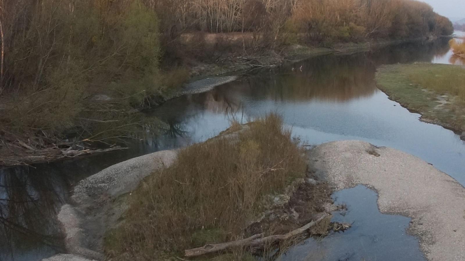
An expert from Donau-Auen National Park has mapped the Schwalbeninsel island complex, Austria, using a drone.
The action is carried out within the LIFE WILDisland project, which aims to protect and revitalize the last remaining wild islands along the Danube. In order to assess and document the effect of the project activities on the morphology of the adjacent areas, local monitoring programmes will take place at each of the project sites, including the Schwalbeninsel complex in Donau-Auen National Park, Lower Austria.
Due to the vegetation cover and the water levels on site, we had to wait and only start with the preliminary surveys mid-March but now we have a good snapshot of the conditions before the start of the planned revitalization works. The drone-pictures will now be used to generate a DEM (digital elevation model).
The survey will be repeated once the construction is done towards the end of the WILDisland project and the two generated DEM´s will be analyzed and compared to study the change and impact of the actions on the morphology of the banks, as well as the vegetation and hydrological regime of the areas.
We are really looking forward to see how the revitalization measures will affect the area!
We will keep you posted!
Photo credit: Aaron Griesbacher, Donau-Auen NP