DE127

- Category
- C
- Area
- 0,12 ha
- Origin
- C
- Hydro-morphology
- 3
- River km
- 2480
- Habitat Characteristic
- Hydraulic structures and softwood galleries
General Information
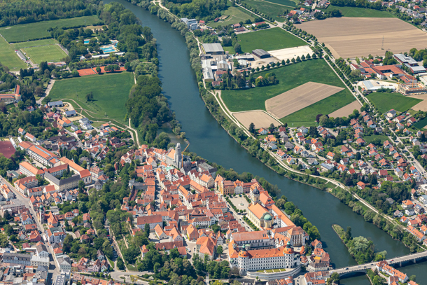
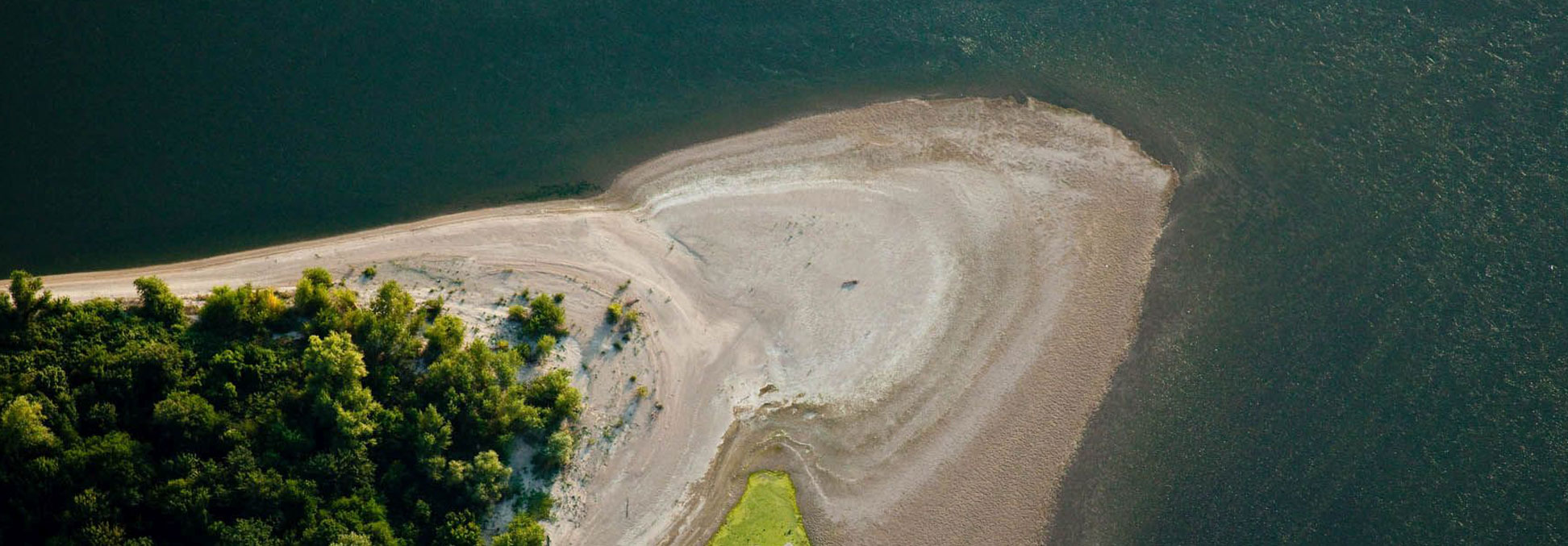
Larger, partly inhabited river island of the Danube, which is connected on both sides by bridges with the settlement areas of “Neuburg”. The smaller western part of the island is completely covered with alluvial forest. The predominantly older tree population consists of willows, ash trees, elms, maple trees, etc. and silver poplars together. The natural growth of woody plants is rich. The proportion of dead wood is low. The shrub layer is dense, hardly to penetrate, species-rich and through the middle part runs a beaten path. The stock is flooded annually by high water, locally sandy inundations exist. The edge of the island is fortified with limestone boulders, which are firmly inserted into the ground at the tip of the island. Thus, no bank vegetation can form. The fortified embankments are mostly flat, locally steeper. The island lies 0.5 – 1.5 m above the river level.