HU063 Black Forest groynes

Hungary
46.3094860621, 18.9195447093
- Category
- C
- Area
- 1,45 ha
- Origin
- C
- Hydro-morphology
- 3
- River km
- 1495
- Habitat Characteristic
- Softwood galleries and hydraulic structures
General Information
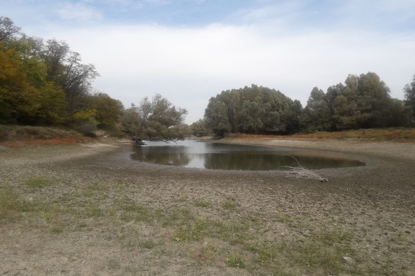
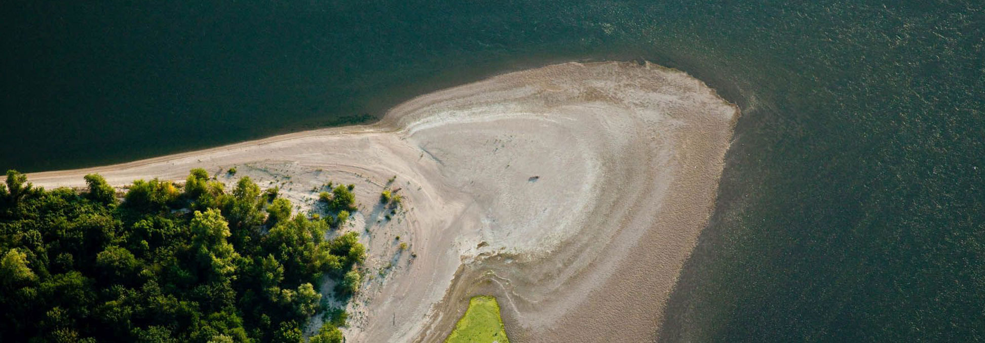
Four islands developed among groyns and T-shape training walls. They are officially part of Danube riverbed, area manager is Lower Danube Water Management Directorate. The area is part of Duna-Drava National Park Directorate, situated inside HUDD20032 Gemenc Natura 2000 site (SCI). These islands form the largest sandbar complex within Duna-Drava National Park, in low water situation the sandbar reaches 50 m in width. The islands represents different phase of succession from open sand surfaces through sedgy grassland, willow bushes to softwood gallery forest. Between the islands and the riverbank there are the remainings of the former sidearm as a potential river restoration area.