RO166sc Babina

- Category
- B
- Area
- 2236,63 ha
- Origin
- A
- Hydro-morphology
- 2
- River km
- 20
- Habitat Characteristic
- Wetlands, oxbows and grasslands
General Information
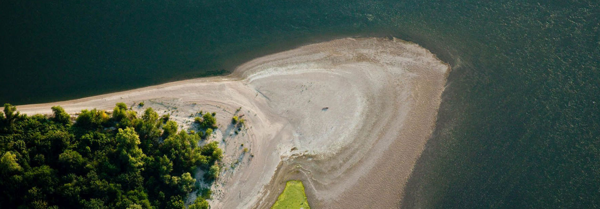
This vast and old island developed in the Chilia branch. It was partially transformed for agriculture purposes during the 1980s, by digging a border channel and a rectangular channel network inside the island. Along with those, there was also a drainage infrastructure built, which includes some small buildings and an electricity network. The entire plan came to an end in the early 1990s when it was restored to its natural state by taking down the dykes.
The vegetation is represented by two distinctive components. The first component consists of a narrow strip along the bank of the island and the edges of the inside channels. Its particular component is represented by species like willows, poplars, Tamarix tetrandra, Wild pear, Seabuckthorn and Amorpha fruticosa. The second component is the surface inside the island between the channels which presently consists of reed.
Conservation status: Biosphere Reservation